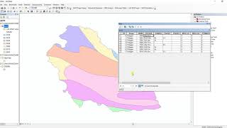
thank you for sharing, but how to solve if the study area/watershed is not displayed on a digital soil map of the world please inform the possible way to solve that problem.
Hi, thanks for your query. If you don't see the overlay of your shapefiles, please check the projection if they are same, or you need to project your shapefiles on to the DSMW data. Hope this will solve your problem.
@@MdArifurRahmahn can u share your email id? actually i am doing run off estimation through NRCS CN no and finding difficulties with GIS,so if u help then i ll be very gratetful!


Thank you !! you makes a great job !! it is helpful
Glad to hear that!
Thank you for useful information!
You are welcome!
outstanding....sooo informative vdo. Go ahead.
Many many thanks
thank you for sharing, but how to solve if the study area/watershed is not displayed on a digital soil map of the world please inform the possible way to solve that problem.
Can this be done using QGIS?
How many kilometers is the area? of soils.
Hi. how to do if the shp layer of my basin does not appear on the DSMW layer please.
Hi, thanks for your query. If you don't see the overlay of your shapefiles, please check the projection if they are same, or you need to project your shapefiles on to the DSMW data. Hope this will solve your problem.
@@MdArifurRahmahn I tried but the clipping no longer works
what about geology of the given area ?? in the same case how can i get the information of Geology ??
I have to look for it.
how can i do it for a specific watershed and then how can i maped hydrological soil group. plz hlp me!
Thank you for the query. This video might help you on that: th-cam.com/video/1hbKEvhgEYY/w-d-xo.html
@@MdArifurRahmahn can u share your email id? actually i am doing run off estimation through NRCS CN no and finding difficulties with GIS,so if u help then i ll be very gratetful!
Thank you
thank you brother
Wonderful video
Many thanks
Thank you so much
no coordinate system, data is not projected