Create Digital Elevation Model , Contour and Slope in Arc GIS . FOR BEGINNERS

ฝัง
- เผยแพร่เมื่อ 8 ก.พ. 2025
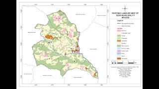
- In this video you can learn how to create Digital Elevation Model (DEM) of your study area using Topographical Data. and how to create contour and slope using DEM raster data'
Also you can learn basic Arc Gis Tools and Clipping of raster data
Classification of Slope
Our Facebook Page: / geospatialhub


Please mention that this only works with the 3D Analyst license, not included in ArcGIS basic, standard or advanced. Thus, this is not a beginners course.