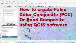
Lecture-2: How to install QGIS and Visualize True Colour Composite Images in QGIS

ฝัง
- เผยแพร่เมื่อ 25 ส.ค. 2024
- (Headphones Recommended for better Audio Clarity)
REMOTE SENSING FOR BEGINNERS:
The above series is focused upon Beginners who are interested to learn practical use of Remote Sensing and GIS techniques. Also as a part of the VTU Curriculum, Remote Sensing and GIS is offered as an Open Elective for 6th B. E. Course. The series is also an attempt to teach basic hands-on experience for the students who have opted the subject.
TH-cam link for first video in this series: • Lecture-1: Downloading...
i.e., Lecture-1: Downloading and Visualizing the Remote Sensing Datasets.