Mavic 3E Enterprise Mapping 1.2 Miles using the Flight Hub 2 Application.

ฝัง
- เผยแพร่เมื่อ 23 มิ.ย. 2024
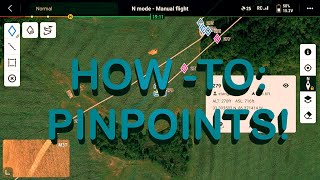
- First successful attempt at mapping a 2D model using the DJI Mavic 3 Enterprise Edition Drone and the Flight Hub 2 app in the Pennsylvania Sunrise area. The flight was smooth, covering 1.2 miles in just 3 minutes and 27 seconds, capturing 283 photos. The sensor camera display and the ability to toggle between camera and map views provided an exceptional flying experience, especially at high speeds. The efficiency and quality of the data collected were impressive, making the mapping process truly seamless.
#DroneMapping #DJIMavic3Enterprise #FlightHub2 #2DModel #AerialPhotography #PennsylvaniaSunrise #SeamlessMapping #DronePhotography #MappingTechnology #HighSpeedMapping
#djienterprise
www.artzdrones.com
info@artz-drones.com
IG: artzdrone75
New York, New Jersey
Aerial Mapping
Site Inspections
Progress Monitoring
2D/3D Modeling
Infrastructure Planning
Roof Inspections
Structural Integrity Assessment
Inventory Inspections
Damage Documentation
Safety Compliance Checks
Preventive Maintenance Recommendations.
Arts Drone LLC