Contour map preparation using DGPS (Part-1)

ฝัง
- เผยแพร่เมื่อ 19 มิ.ย. 2023
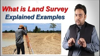
- Differential Global Positioning System (DGPS) is a high level accuracy equipment used in preparing a contour map. The survey points are saved in internal memory and can be extracted into any windows based PC with the software provided by the FOIF company.
To see my earlier videos you can subscribe my channel or click on any specific link. Some of my previous videos are mentioned below with their links.
1) Introduction to Transit Theodolite - • Introduction to Transi...
2) Setting of Simple Circular Curve - • Setting of Simple Circ...
3) Setting of Compound Curve - • Setting of Compound Curve
4) Cadastral Survey - • Cadastral Survey
To follow me in facebook, please click on the link below -
profile.php?...
To follow me in Instagram, please click on the following link -
pCkYmJRABl... - วิทยาศาสตร์และเทคโนโลยี


12:27 sir apnar video gula kub valo, onak upkar ea lage students er
Dhanyabad. Ebhavei apnader ashirbad amay deben.
🎉🎉🎉🎉
❤🔥🤙
Sir kon sa method se contour survey kr raha hai
Random points using Civil 3D software
Part - 2 Kab ane vala hai
Mere pass foip A90 vala hai
Price kitna sir
Very shortly. We are working on it.
Cameraman er name ta mention korle r ekto valo hoito ✅
Price sir
Around 10 L
10:52 sir apnar contact number pate pari