Introduction to Remote Sensing with Python

ฝัง
- เผยแพร่เมื่อ 27 ส.ค. 2024
- Instructor: Yoh Kawano
Workshop materials: github.com/yoh...
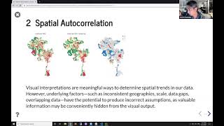
Satellites are circling our planet, allowing us to "sense" things about the Earth. It is the art and science of making measurements using sensors. Remote sensing has thus become a valuable tool in research and applications in a wide range of disciplines, such as engineering, geology, geography, urban planning, public health, archeology, environmental studies, disaster research, forestry, and agriculture.
In this workshop, you will:
- learn the basic principles of remote sensing methods in research
- have a hands-on session on using Jupyter Notebooks to code in Python
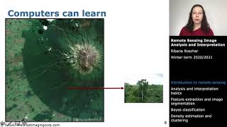
- import Landsat imagery using Google Earth Engine's Python library
- conduct a basic NDVI (Normalized Difference Vegetation Index) analysis


As a GIS tech who is trying to teach themselves spatial data science, I sincerely appreciate these free videos. Thank you.
Hi, thanks a lot! It is a great start for those who wants to merge his python knowledge and satellite imagery.
Wow..what a tutorial
Thank you so much❤❤
Fabulous Lecture
million thanks!
Once I save the folium html, after two days, the interactive visualization stops to display. What could be the problem?
Great workshop, Can I found any advance level course of the instructor?
Apart from NDVI, can we calculate water indices using satellite imagery with Python?
Great
nice
Sir Google is not allowing me to log in....?