
- 10
- 1 318
Remote sensing &Almustafa Ayek
เข้าร่วมเมื่อ 18 ต.ค. 2022
Remote Sensing and GIS
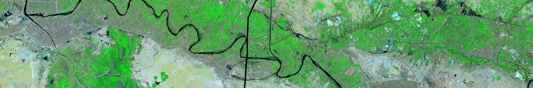
Land Surface Tempreture from Sentinel 3 data using SNAP ,ArcGIS
Land Surface Tempreture from Sentinel 3 data using SNAP ,ArcGIS
มุมมอง: 143
วีดีโอ


ChatGpt/1
มุมมอง 114หลายเดือนก่อน
استخدام chatGpt في كتابة المعادلات الرياضية www.bibcit.com/en/massivemark

Google Earth Engine/2
มุมมอง 111หลายเดือนก่อน
الدرس 2 من الدورة الاولى لتعلم استخدام منصة Google Earth Engine #GEE #googleearth #gis

Google Earth Engine /1
มุมมอง 248หลายเดือนก่อน
الدرس الاول من الدورة الاولى لتعلم استخدام منصة Google Earth Engine #GEE #googleearth #gis
❤❤❤